
Margate ZIP Directory Coverage
Six postal or statistical codes touch Margate in different ways. The two main delivery ZIPs use Margate as the preferred city. Two edge areas show Margate sites with Coral Springs or Coconut Creek postal identities. A classified branch code has a special box history, while a Census ZCTA overlaps the city without proving that each address uses that mail code. Treat the entries below as search zones, not as exact legal boundaries.
| ZIP | Margate area | Postal identity | Boundary note |
|---|---|---|---|
| 33063 | Central and northern homes and businesses | Margate Post Office | Core delivery area extends outside the city |
| 33068 | Southern and eastern Margate, including SW-area sites | Preferred Margate | Also tied to North Lauderdale and Pompano-area geography |
| 33065 | Far west and northwest commercial edge | Preferred Coral Springs | Postal city differs from municipal city |
| 33073 | North and Sample Road commercial edge | Commonly Coconut Creek | Verify every city-line address |
| 33093 | Margate classified branch and PO-box history | Preferred Margate since 2011 | Non-geographic or box use needs USPS confirmation |
| 33067 ZCTA | Census overlap with Margate | Postal ZIP centered outside core Margate | Statistical overlap is not delivery proof |
Official city customer data confirms Margate locations in 33063, 33068, 33065, and 33073. That evidence is stronger than a casual ZIP map because it identifies actual city sites. Yet it still does not turn the postal area into the municipality. USPS chooses preferred last lines for delivery. The City of Margate maintains municipal addresses, and the Census draws statistical approximations. All three systems can be correct while showing different edges.
Margate ZIP 33063 at the Core
Most central and northern Margate residential and commercial addresses use 33063. The Margate Post Office is at 5094 Coconut Creek Parkway, Margate, FL 33063-9998. Its published phone is 954-971-9569, and retail hours are Monday through Friday from 8:30 a.m. to 5 p.m. and Saturday from 10 a.m. to 1 p.m. PO Box Online is available.
Still, 33063 is not a city boundary. A postal route can cross the line, and a search result carrying Margate in its last line does not by itself prove that the parcel lies within the municipality. Compare the full street address with the city map or Broward property record. This avoids mixing nearby parcels into a city-only list.
Margate ZIP 33068 at the Edge
ZIP 33068 serves southern and eastern Margate addresses, including locations near State Road 7 and the city's southwest area. The code also appears across a broader North Lauderdale and Pompano-area geography. A 33068 result therefore needs an address-level check before it is counted as Margate.
The west and north edges add another twist. Official Margate lists include W Sample Road locations in 33065 even though USPS prefers Coral Springs, and city businesses can use 33073 with a Coconut Creek postal identity. These are not errors. They are examples of postal city and municipal city diverging. Search both city labels when an older filing, phone book, or business record seems to disappear.
Margate ZIP 33093 Changed Names
USPS formally changed the preferred last line for 33093 from Pompano Beach to Margate on July 30, 2011 and identified it as the Margate Classified Branch. Older mail and directory entries can therefore index the same postal facility under Pompano Beach, while newer records use Margate. That postal change is a valuable date marker when comparing sources.
Do not assume every current box uses 33093. The present post office information does not say that all boxes still carry that code. Verify the specific box through the official USPS tool. A missing polygon on an online map is also expected for some box or unique codes because they describe delivery points rather than a normal street area.
The USPS city and state ZIP lookup is the official place to test the current postal label.
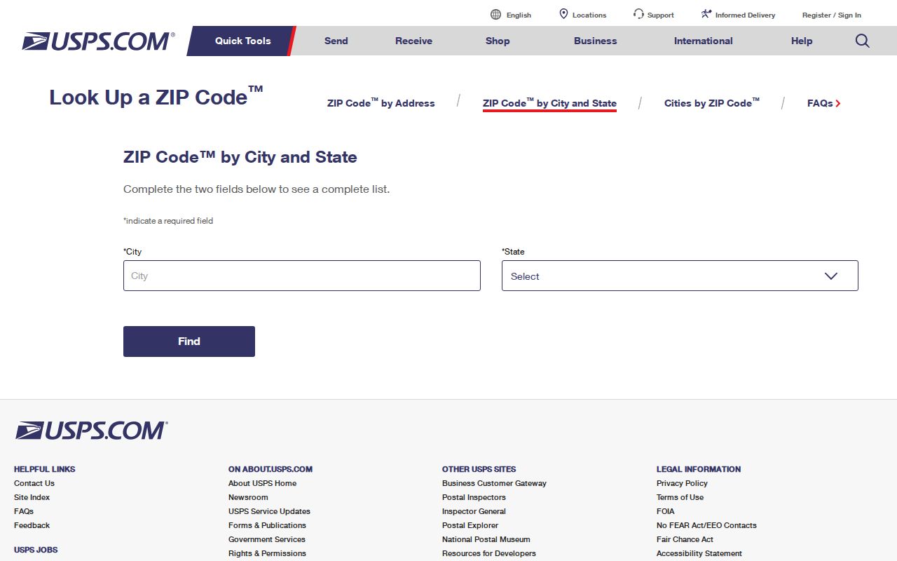
Use the returned ZIP with the complete street or box address, then move to city and county tools for jurisdiction and ownership.
Search Margate Residents by ZIP
ZIP searches narrow a large file, but Broward's standard real-property search was not verified as supporting a ZIP-wide filter. The tangible personal property interface does expose Street Number, Direction, Street Name, Street Type, City, and ZIP Code fields. For homes, use GIS data, an export or records request, or search known streets. Never imply that an unverified filter exists.
- Confirm the full mailing address with USPS, including the preferred city and ZIP.
- Check the address against the City of Margate address map and Broward parcel geography.
- Use a GIS export or public-record request when a ZIP-wide property list is needed.
- For public voter data, consult Florida's monthly extract and respect omitted protected addresses.
- Move from the verified ZIP to individual streets and parcels for identity checks.
Florida's public voter extract can support geographic analysis, but confidential voters and protected address fields are omitted. A ZIP match also does not prove present occupancy. Once the area is narrowed, follow the Margate street directory workflow for street and parcel detail.
ZIP Fields in Margate Records
The Broward County Property Appraiser's tangible personal property search provides an official ZIP-capable form. It concerns taxable business assets, not the full residential roll, so its results should not be treated as a directory of households.
| Search field | Input | Required | Use |
|---|---|---|---|
| Street Number | Text | No | Narrow an exact site |
| Direction | Direction choice | No | Distinguish Margate's NW and SW grid |
| Street Name and Type | Text and choice | No | Limit a road segment |
| City | Text | No | Test a postal-city label |
| ZIP Code | Text | No | Narrow tangible personal property records |
A broad ZIP result may span more than one city. Pair it with the folio, a Broward parcel identifier, or a city-limit map. That second anchor prevents a postal match from being mistaken for proof of local jurisdiction.
Why Margate ZIP Maps Add 33067
The Census Bureau lists ZCTAs 33063, 33067, 33068, and 33073 as fully or partly overlapping Margate. A ZCTA, or ZIP Code Tabulation Area, is a statistical shape made by assigning whole census blocks to approximate mail routes. It is not a USPS delivery boundary.
This distinction affects counts. The population of the 33063 ZCTA is not the population of Margate, and a 33067 overlap does not mean every address within it uses that ZIP. Box codes such as 33093 may also lack an ordinary polygon. Use Census shapes for demographic context and USPS for mail, then use city GIS or BCPA for the legal parcel location.
The Margate Open Government page offers the city's official transparency and records entry points.
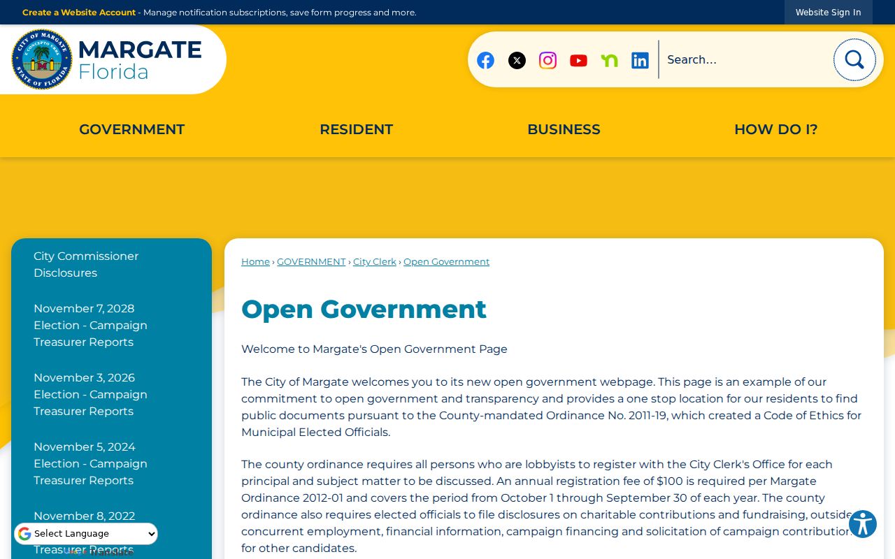
When a published city file is not enough, request the retained map or address record from its Margate custodian.
ZIP Boundaries Versus Margate Limits
Margate's January 11, 2023 address map shows the city's NW and SW prefixes, numbered streets and avenues, subdivisions, and major roads such as Sample Road, Atlantic Boulevard, State Road 7, University Drive, and Banks Road. City GIS accepts reports when that official map appears wrong. The Property Appraiser keeps the tax-roll situs address, meaning the physical property location, while USPS validates the mailing city and ZIP. Deeds and plats preserve the legal lot, block, and subdivision description.
- ZIP and ZIP+4
- A five-digit ZIP identifies a delivery area; the added four digits narrow a segment, building, or group of delivery points.
- PO-box ZIP
- A code used mainly for boxes at a postal facility rather than a normal street polygon.
- Unique ZIP
- A code assigned to one organization or very high-volume recipient.
- Carrier route
- The path or group of addresses served by one postal carrier, which can cross a city line.
For a disputed address, use three checks in order: USPS for delivery, the Margate map for the city grid, and BCPA for the parcel. If those labels still conflict, request the source record rather than choosing the label that looks most familiar. That method keeps the ZIP code directory useful without turning postal geography into a claim about residency.
Older material needs the same care. A deed may use a legal description, a directory may print the postal city then in use, and a corporate filing may retain an old mailing line after USPS guidance changes. Search both the old and current city labels, but compare the folio, lot, block, and subdivision before treating the results as one place. The 2011 preferred-city change for 33093 is a clear example: Pompano Beach and Margate can describe the same postal facility at different dates.
A ZIP code directory also cannot list everyone within a code. BCPA's verified ZIP field belongs to the tangible personal property interface, not a proven ZIP-wide residential search. For a broad local task, request GIS or export data, or narrow the work from ZIP to streets and parcels. That limitation is more useful than claiming a search mode the official real-property portal does not document.
Keep the date and source beside every ZIP match.